Charlestown End Range Lines – Preservation Month Meeting
May 23 @ 7:00 pm

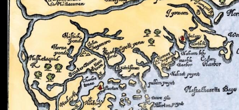
How did colonial English colonists parcel out land once held in common by the Pawtucket along the shores of Spot Pond? In 1658, Charlestown divided land on its northern border into lots using range lines. This land was then parceled out to settlers depending on how much property they already held in Charlestown. The land in question, Charlestown End, later became the Town of Stoneham.
Join us as Alison Simcox and Doug Heath as they talk about the remnants of these range lines still existing centuries later in the Middlesex Fells.
This is the annual joint meeting with the Stoneham Historical Commission for National Historic Preservation Month. (Note this meeting is the the 4th Thursday of the Month, not our typical Second Thursday).

Alison C. Simcox and Douglas L. Heath are environmental scientists with an interest in local history. They are the authors of a number of books on topics, including the Middlesex Fells, Haywardville, Breakheart Reservation and Lake Quannapowitt.
